
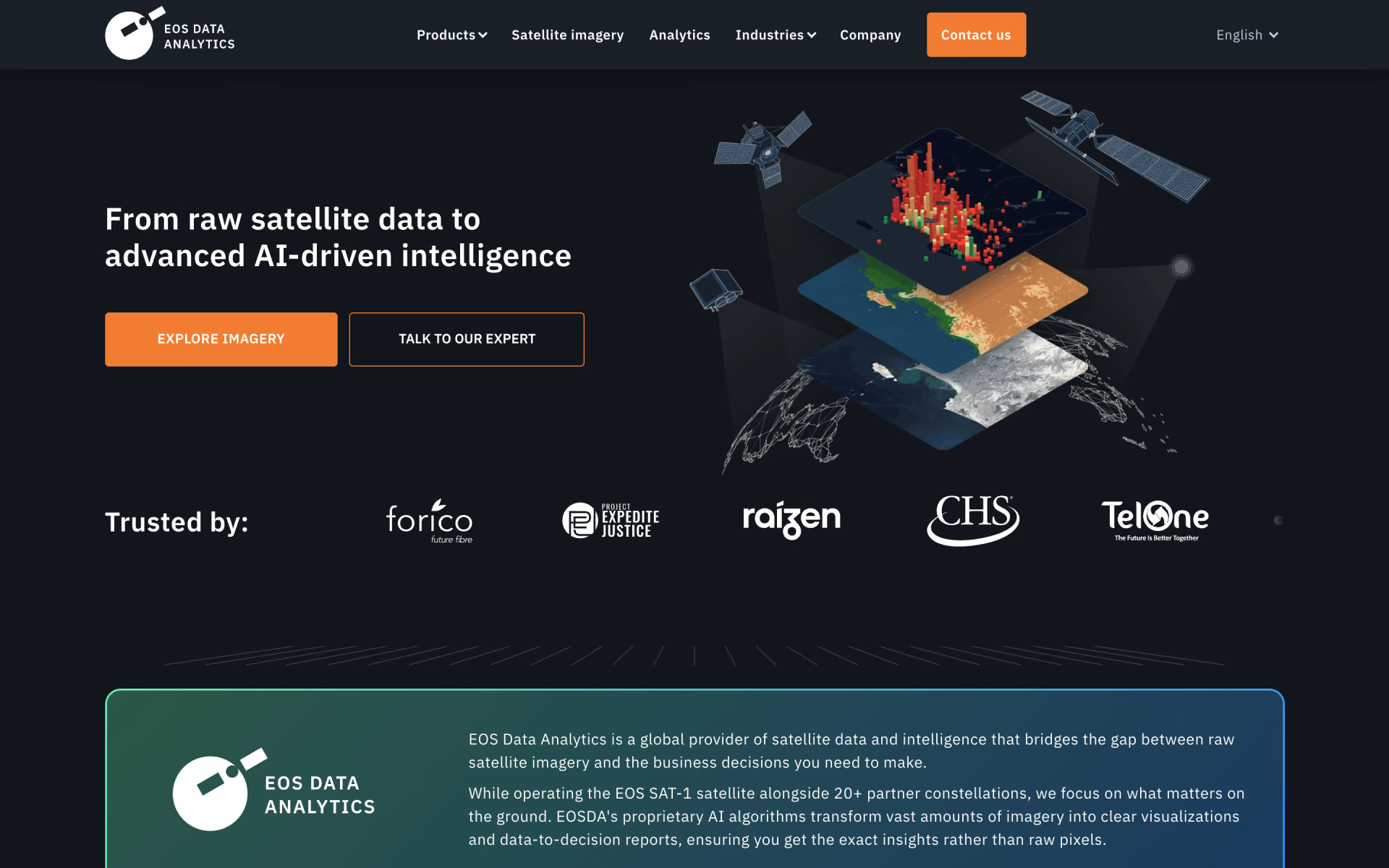
What is EOSDA?
Satellite data into insight for agriculture and forestry.
Who is EOSDA best for?
EOSDA is best for growers, agricultural consultants and forestry teams that want to watch fields from recent satellite imagery in a browser.
Growers
Crop Monitoring tracks crop health with vegetation indices, sends risk alerts and builds variable-rate maps to save fertilizer, seed and water.
Agricultural consultants
Advisers can follow all their clients' fields from one account, share custom crop reports and bring their whole team in.
Forestry and land monitoring
LandViewer finds recent satellite images by date, sensor and resolution, with change detection and alerts for the areas you choose.
Custom analysis for other industries
EOS RayVision delivers tailored reports for sectors such as infrastructure, insurance and disaster response, and is sold through a demo.
How much does EOSDA cost?
EOSDA is free to start: LandViewer has a free Starter plan with up to 5 satellite images a month and Crop Monitoring offers free field monitoring, while the prices of the paid plans sit behind a sign-in.
LandViewer names two paid plans, Explorer (15 images a month) and Pro (unlimited images and the full feature set), billed monthly or yearly, but their prices, like Crop Monitoring's paid plans, are shown only behind a sign-in. EOS RayVision's custom reports are sold through a demo. Plans and current prices are on eos.com.
How do readers rate EOSDA?
No one has rated EOSDA yet. Be the first.
Sign in to rate. One rating per account.
Questions about EOSDA
What is EOSDA?
Satellite data into insight for agriculture and forestry.
Who is EOSDA for?
EOSDA is best for growers, agricultural consultants and forestry teams that want to watch fields from recent satellite imagery in a browser.
Is EOSDA free?
Yes. EOSDA's LandViewer has a free Starter plan with up to 5 satellite images a month and limited analytics, and Crop Monitoring lets you monitor your fields at no cost. Paid LandViewer plans add more images and features, and high-resolution commercial images cost extra.
Where can I try EOSDA?
On its official website, eos.com.
Are high-resolution images included in an EOSDA subscription?
No. LandViewer plans include low and medium resolution data such as Sentinel and Landsat, while high-resolution commercial images down to 0.3 m are ordered separately and priced by provider, resolution, area and delivery time.

 Flypix AI
 Reporfy
 Othor AI
 Flame Analytics

 Zensors

 Databuddy